


4,5 km | 5,9 km-effort

Tous les sentiers balisés d’Europe GUIDE+


Application GPS de randonnée GRATUITE
 SityTrail
IGN / Instituts géographiques
SityTrail World
Le monde est à vous
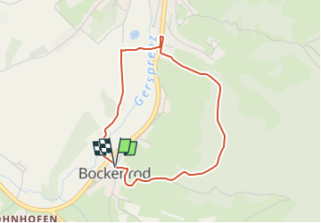
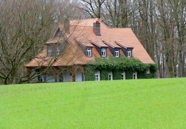
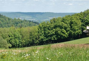
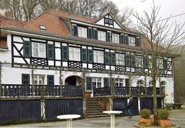
Randonnée A pied de 3,4 km à découvrir à Hesse, Odenwaldkreis, Reichelsheim (Odenwald). Cette randonnée est proposée par SityTrail - itinéraires balisés pédestres.
Randonnée créée par Geo-Naturpark Bergstraße-Odenwald.
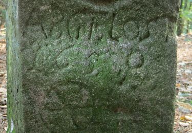
Symbole: Weißer, oben offener Kreis, in Öffnung "BO", in der Mitte "1"
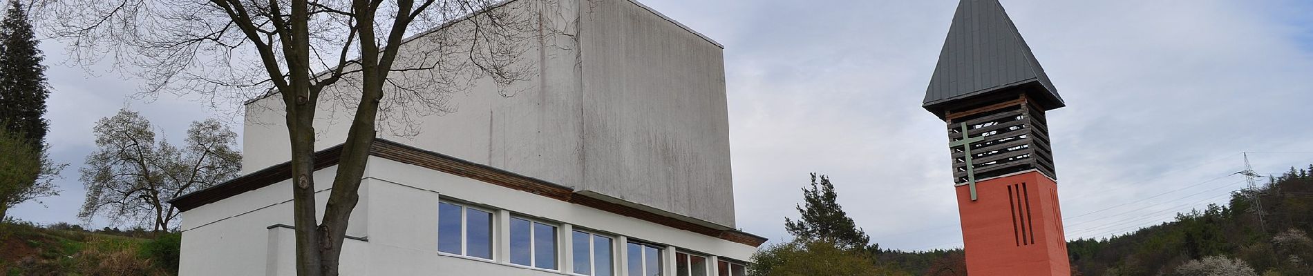
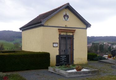
 - Rundwanderweg Bockenrod 1 - Photo 1")
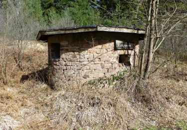
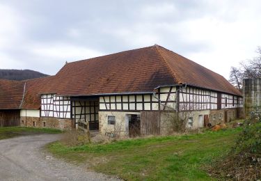
 - Rundwanderweg Bockenrod 1 - Photo 2")
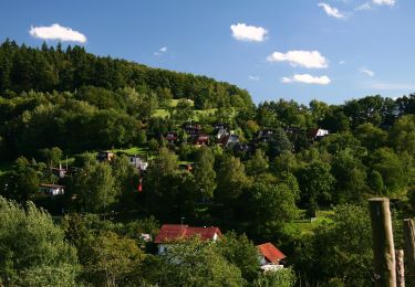
 - Rundwanderweg Bockenrod 1 - Photo 3")
 - Rundwanderweg Bockenrod 1 - Photo 4")
 - Rundwanderweg Bockenrod 1 - Photo 5")
 - Rundwanderweg Bockenrod 1 - Photo 6")
 - Rundwanderweg Bockenrod 1 - Photo 7")
 - Rundwanderweg Bockenrod 1 - Photo 8")
 - Rundwanderweg Bockenrod 1 - Photo 9")
 - Rundwanderweg Bockenrod 1 - Photo 10")
A pied
A pied
A pied
A pied
A pied
A pied
A pied
A pied
A pied